Delhi
King George V laid the foundation for Delhi at the 1911 Coronation Durbar, marking the city’s status as the capital of British India. Previously, Calcutta served as the capital.
Two main considerations contributed to moving the capital from Calcutta to Delhi:
- 1909’s Indian Committees Act.
- the continuing issue brought on by the division of Bengal.
The British desired a location where the government could stay each season. After considering a number of locations, they chose Delhi as it was more convenient and nearer to Simla, the summer capital.
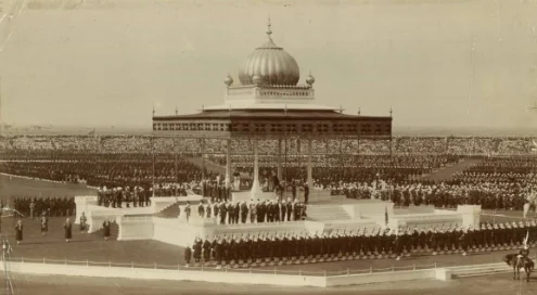
Delhi’s connection to the Mughal Empire and the Mahabharata represented the pride of Muslims and Hindus alike. Based on these historical, political, and geographic considerations, they selected Delhi as the new Imperial capital.
The Delhi Town Planning Committee
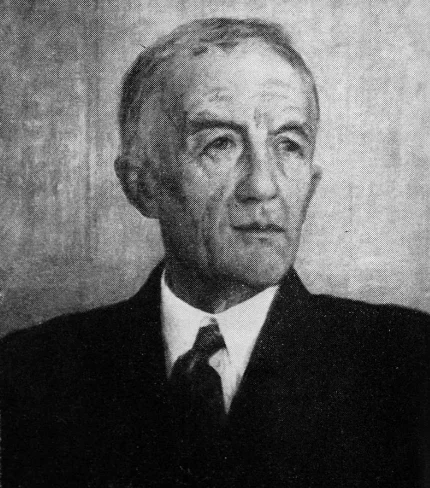
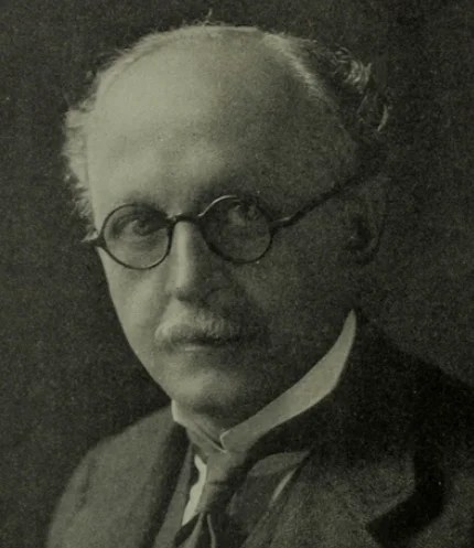
The Delhi Town Planning Committee, established in 1912, planned, developed, and designed significant structures such as the Viceroy’s House and the Secretariat buildings, along with other structural projects related to the new city’s aesthetics. In March 1912, Edwin Lutyens joined this committee.
The Indian government intended to run a competition to choose architects to design the structures for the new imperial city. All British subjects living in India, Burma, Ceylon, and the British Isles could enter this competition.
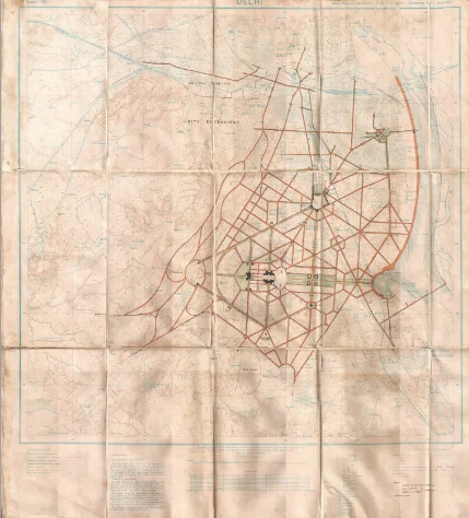
The site was not chosen at this time, so the city’s layout could not be changed. The government intended the overall style of the architecture to blend in with Old Delhi’s monuments and embrace Indian art traditions.
Establishment
His Excellency Lord Hardinge recommended enlisting Mr. Baker and Mr. Lutyens to choose and oversee the designs. On May 8, 1913, the government decided to end the competition and appoint Messrs. Baker and Lutyens as primary architects and general architectural consultants.
Ten square miles were designated for the Imperial city and fifteen square miles for the cantonment by the Committee.
The British considered the following locations
- The government turned down the area along the Jamuna’s eastern bank due to its lack of historical significance and propensity for flooding.
- The committee discovered after conducting more research that they had previously developed the Durbar region on the west bank of the Jamuna, to the north of Delhi, which had excellent rail connections across India. They also found that purchasing and managing the land were expensive.
- Because it was not possible to construct new structures close to the Mutiny memorial, the ridge region was also abandoned. They thought there was no way this place could be anything other than a park.
- The committee discovered that the stony western slopes of the hills located south of Delhi had little historical value and extended out to Rohilla Sarai, blocking the view of Delhi.
- The committee chose the site on the eastern slope of the hills to the south of Delhi because it provided an infinite area for building properties and was aesthetically pleasing, physically hygienic, and generally favorable.
Established Groups
The Delhi Town Planning Committee structured the future capital into three primary groups in its final report.
The first set of plans focused on the structures that the government would provide before the new city became the government’s seat.
The second focused on the buildings that the government might Delhiadd to the new city; and the third focused on the buildings to be constructed by private companies.
The first category received priority, including the following significant projects.
a. The Government House
b. The Executive Offices
c. His Excellency’s residence the Members of the Council’s Commander in Chief
d. A place where clerks reside
e. building roads, public gardens, drainage systems, parks, open spaces, arboriculture, and railroads.
The Government Seat comprised the two Secretariat buildings and the Government House, located atop Raisina Hill. One advantage was the height of Raisina Hill and the high terrain behind it.
ALSO READ: Indigo Revolt Origin | Role of British Planters
Overview of the plan for the city
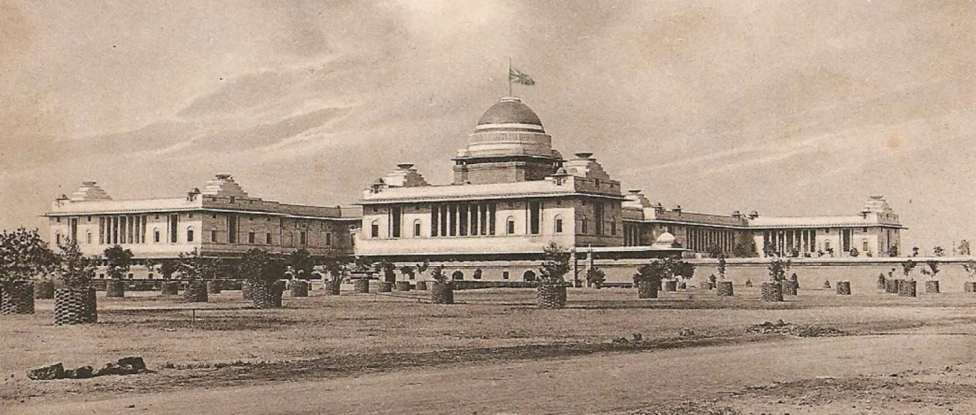
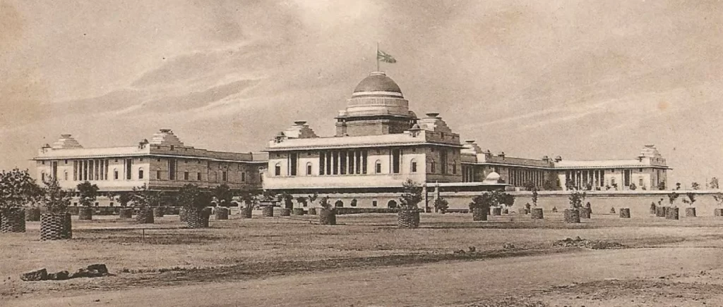
Lutyens and Baker included Indian architectural influences into the structures they designed. While Baker incorporated architectural features like Chattris and Jalis, Lutyens drew inspiration for the Viceroy’s House from the Sanchi Stupa and its railings.
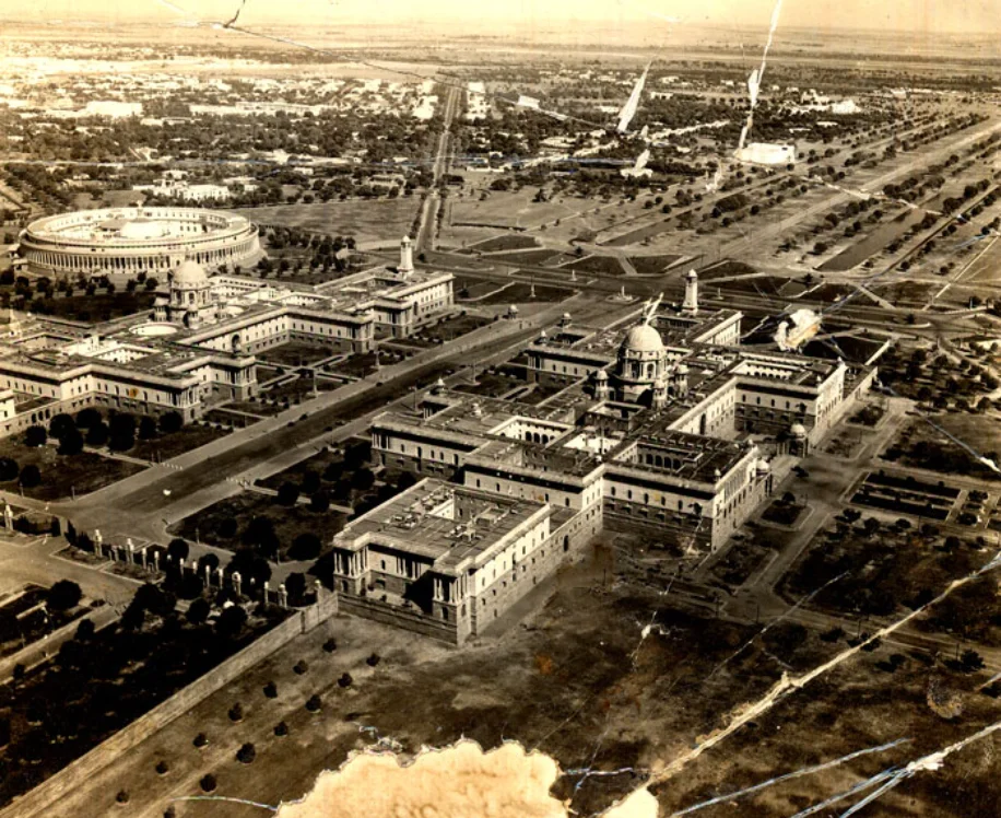
Image source – Delhi State Archives
Originally, Baker intended the Parliament House to be a component of Government House rather than a stand-alone structure. It was referred to as the Council Chamber. The government recognized the need to construct a larger structure due to an increase in members.
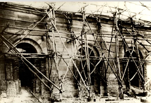
The Committee designed the new city with parks, gardens, and fountains. Thirteen different types of unique trees, including jamun, mulberry, imli, arjan, and neem, were chosen for the avenues.
– Delhi State Archives
These cultivars were selected based on the understanding that, if planted and provided with enough water, they would not require expensive maintenance.
At the completion of the project, the expected cost had climbed dramatically from Rs. 10,01,66,500 in 1914. By December 31, 1929, the majority of the work was finished.
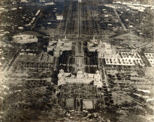
Image source Delhi State Archives
Lord Irwin was the first inhabitant of Viceroy’s House, currently known as Rashtrapati Bhawan. The new imperial metropolis covered 6,000 acres. In 1931, it was eventually opened. Today, it is referred to as Lutyens Delhi.
